District about six miles south of Ohiwa Harbour, Bay of Plenty, being approximately the area covered by Blocks XV & IV. Part of this district is in the Gisborne Land District
Getting started with the map
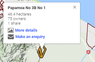
To use this site either type the registered name of your Māori land block in the search box above (if text is below) or using the map, zoom to the location of your land block and click on the land block's boundary.
Got it
The land block information used in this tool was last updated in February 2017.